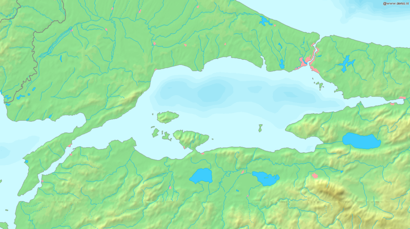
File:Localisation Mer de Marmara.png
From Wikimini Coordination Platform

Size of this preview: 320 × 179 pixels. Other resolutions: 800 × 448 pixels | 1,336 × 748 pixels.
Original file (1,336 × 748 pixels, file size: 334 KB, MIME type: image/png)
File history
Click on a date/time to view the file as it appeared at that time.
| Date/Time | Thumbnail | Dimensions | User | Comment | |
|---|---|---|---|---|---|
| current | 22:38, 28 June 2013 | | 1,336 × 748 (334 KB) | Jereemy | http://commons.wikimedia.org/wiki/File:Sea_of_Marmara_map.png |
File usage
The following file is a duplicate of this file (more details):
- File:Localisation Mer de Marmara.png from a shared repository
There are no pages that link to this file.