File:Colonisation-Amériques.png
From Wikimini Coordination Platform
Size of this preview: 185 × 239 pixels. Other resolution: 470 × 608 pixels.
Original file (470 × 608 pixels, file size: 9 KB, MIME type: image/png)
File history
Click on a date/time to view the file as it appeared at that time.
| Date/Time | Thumbnail | Dimensions | User | Comment | |
|---|---|---|---|---|---|
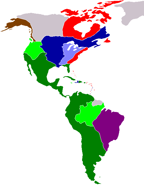
| current | 15:43, 1 March 2012 | | 470 × 608 (9 KB) | Jereemy | * <li style="font-size:{{{taille police|90%}}}; list-style: none; margin: 0 0 0 -1.5em;">{{#if:{{{texte|}}}|{{{texte|}}} : {{{1|}}}|<span style="border:{{{bordure|1px solid grey}}}; background:{{{#008000}}};"> </span> Territoir |
File usage
The following file is a duplicate of this file (more details):
- File:Colonisation-Amériques.png from a shared repository
There are no pages that link to this file.