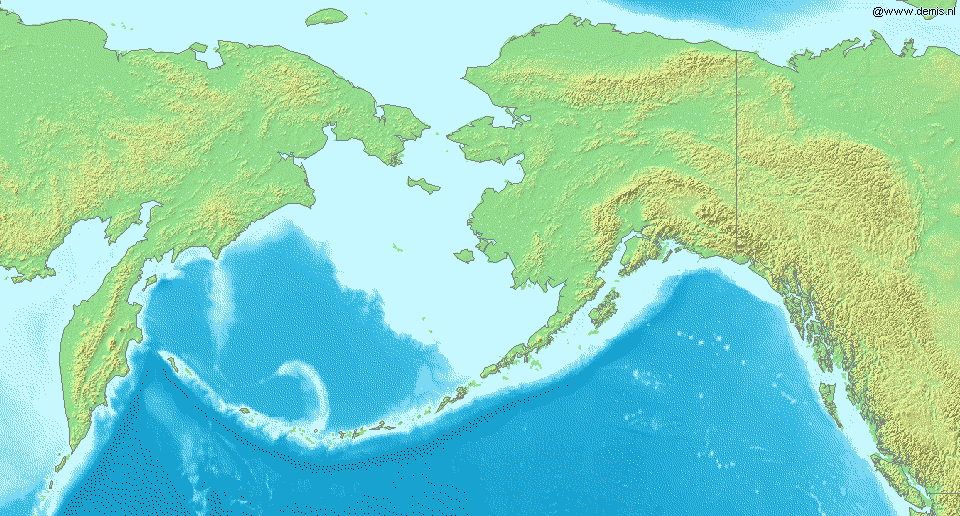
File:Carte mer de Béring.png
From Wikimini Coordination Platform
Size of this preview: 320 × 172 pixels. Other resolution: 960 × 516 pixels.
Original file (960 × 516 pixels, file size: 110 KB, MIME type: image/png)
File history
Click on a date/time to view the file as it appeared at that time.
| Date/Time | Thumbnail | Dimensions | User | Comment | |
|---|---|---|---|---|---|
| current | 13:59, 1 August 2012 | | 960 × 516 (110 KB) | Jereemy | Carte de la mer de Béring Source : [http://fr.wikipedia.org/wiki/Fichier:LA2-Bering-Sea.png] |
File usage
The following file is a duplicate of this file (more details):
- File:Carte mer de Béring.png from a shared repository
There are no pages that link to this file.