File:Carte Grands Lacs Amérique du Nord.png
From Wikimini Coordination Platform
Size of this preview: 206 × 240 pixels. Other resolutions: 516 × 600 pixels | 2,000 × 2,327 pixels.
Original file (2,000 × 2,327 pixels, file size: 439 KB, MIME type: image/png)
File history
Click on a date/time to view the file as it appeared at that time.
| Date/Time | Thumbnail | Dimensions | User | Comment | |
|---|---|---|---|---|---|
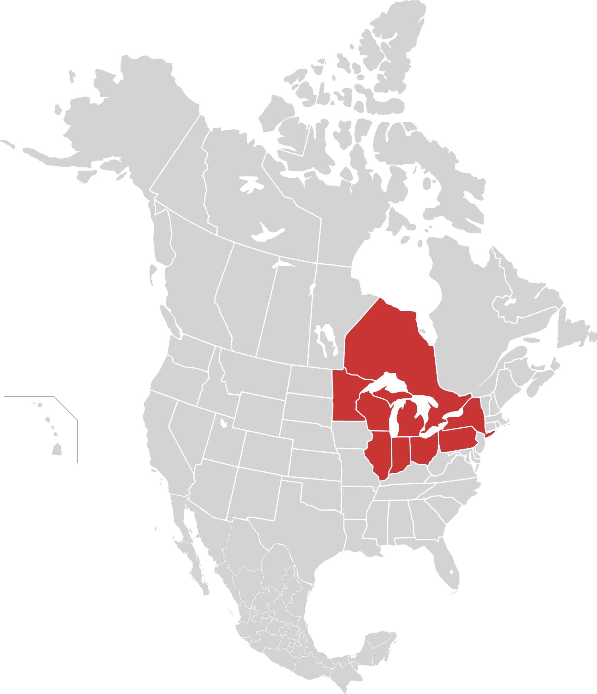
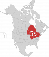
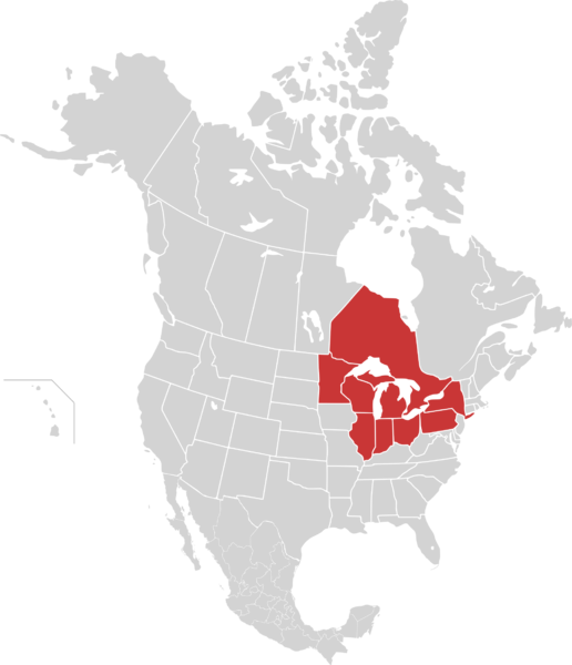
| current | 14:16, 24 July 2012 | | 2,000 × 2,327 (439 KB) | Jereemy | Localisation des Grands lacs d'Amérique du Nord. La province canadienne de l'Ontario et les huit états américains (Illinois, Indiana, Michigan, Minnesota, [[État de New |
File usage
The following file is a duplicate of this file (more details):
- File:Carte Grands Lacs Amérique du Nord.png from a shared repository
There are no pages that link to this file.