File:Carte - Île Sainte-Hélène (océan Atlantique).png
From Wikimini Coordination Platform
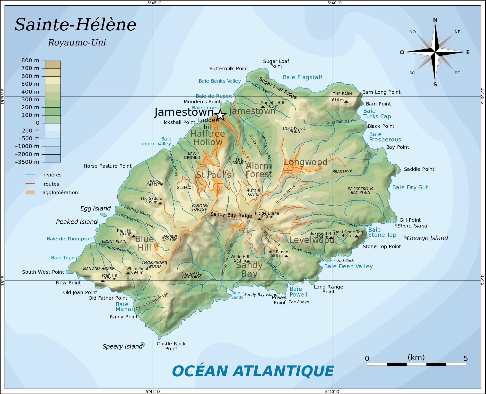
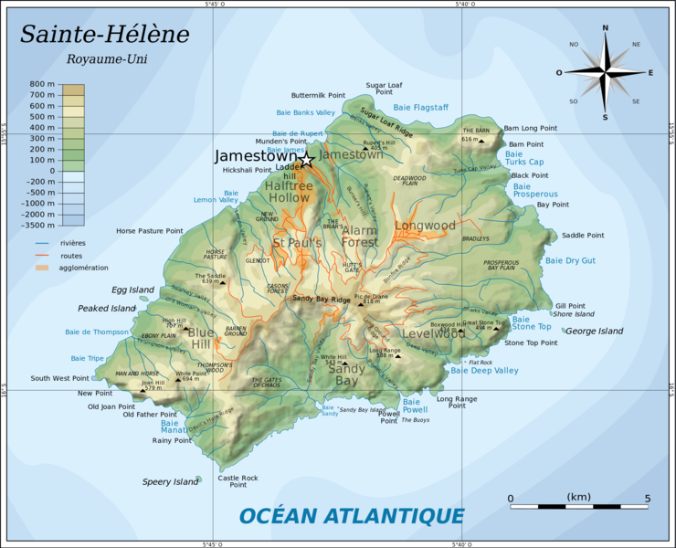
Size of this preview: 296 × 240 pixels. Other resolutions: 740 × 600 pixels | 2,000 × 1,621 pixels.
Original file (2,000 × 1,621 pixels, file size: 1.22 MB, MIME type: image/png)
File history
Click on a date/time to view the file as it appeared at that time.
| Date/Time | Thumbnail | Dimensions | User | Comment | |
|---|---|---|---|---|---|
| current | 21:43, 19 April 2013 | | 2,000 × 1,621 (1.22 MB) | Jereemy | http://commons.wikimedia.org/wiki/File:Topographic_map_of_Saint_Helena-fr.svg |
File usage
The following file is a duplicate of this file (more details):
.png)
- File:Carte - Île Sainte-Hélène (océan Atlantique).png from a shared repository
.png)
There are no pages that link to this file.
.png)
.png)
.png&action=edit&redlink=1)
.png)
.png&printable=yes)
.png&action=info)