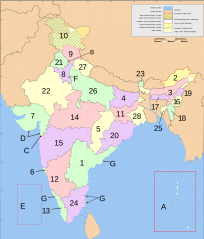
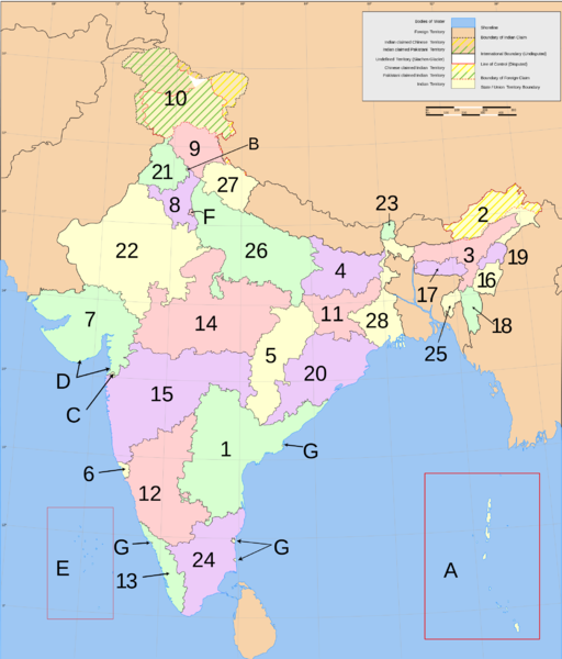
File:Carte États et territoires de l'Inde.png
From Wikimini Coordination Platform

Size of this preview: 204 × 239 pixels. Other resolutions: 512 × 600 pixels | 2,000 × 2,344 pixels.
Original file (2,000 × 2,344 pixels, file size: 707 KB, MIME type: image/png)
File history
Click on a date/time to view the file as it appeared at that time.
| Date/Time | Thumbnail | Dimensions | User | Comment | |
|---|---|---|---|---|---|
| current | 16:59, 21 February 2014 | | 2,000 × 2,344 (707 KB) | Jereemy | https://en.wikipedia.org/wiki/File:India-states-numbered.svg |
File usage
The following file is a duplicate of this file (more details):
- File:Carte États et territoires de l'Inde.png from a shared repository
There are no pages that link to this file.