File:Carte-Terres australes et antarctiques françaises-TAAF.png
From Wikimini Coordination Platform
Size of this preview: 320 × 182 pixels. Other resolution: 786 × 447 pixels.
Original file (786 × 447 pixels, file size: 102 KB, MIME type: image/png)
File history
Click on a date/time to view the file as it appeared at that time.
| Date/Time | Thumbnail | Dimensions | User | Comment | |
|---|---|---|---|---|---|
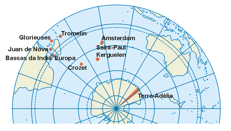
| current | 19:33, 23 February 2012 | | 786 × 447 (102 KB) | Jereemy | Carte des Terres australes et antarctiques françaises. Source : [http://fr.wikipedia.org/wiki/Fichier:TAAF-fr.png] |
File usage
The following file is a duplicate of this file (more details):
- File:Carte-Terres australes et antarctiques françaises-TAAF.png from a shared repository
There are no pages that link to this file.